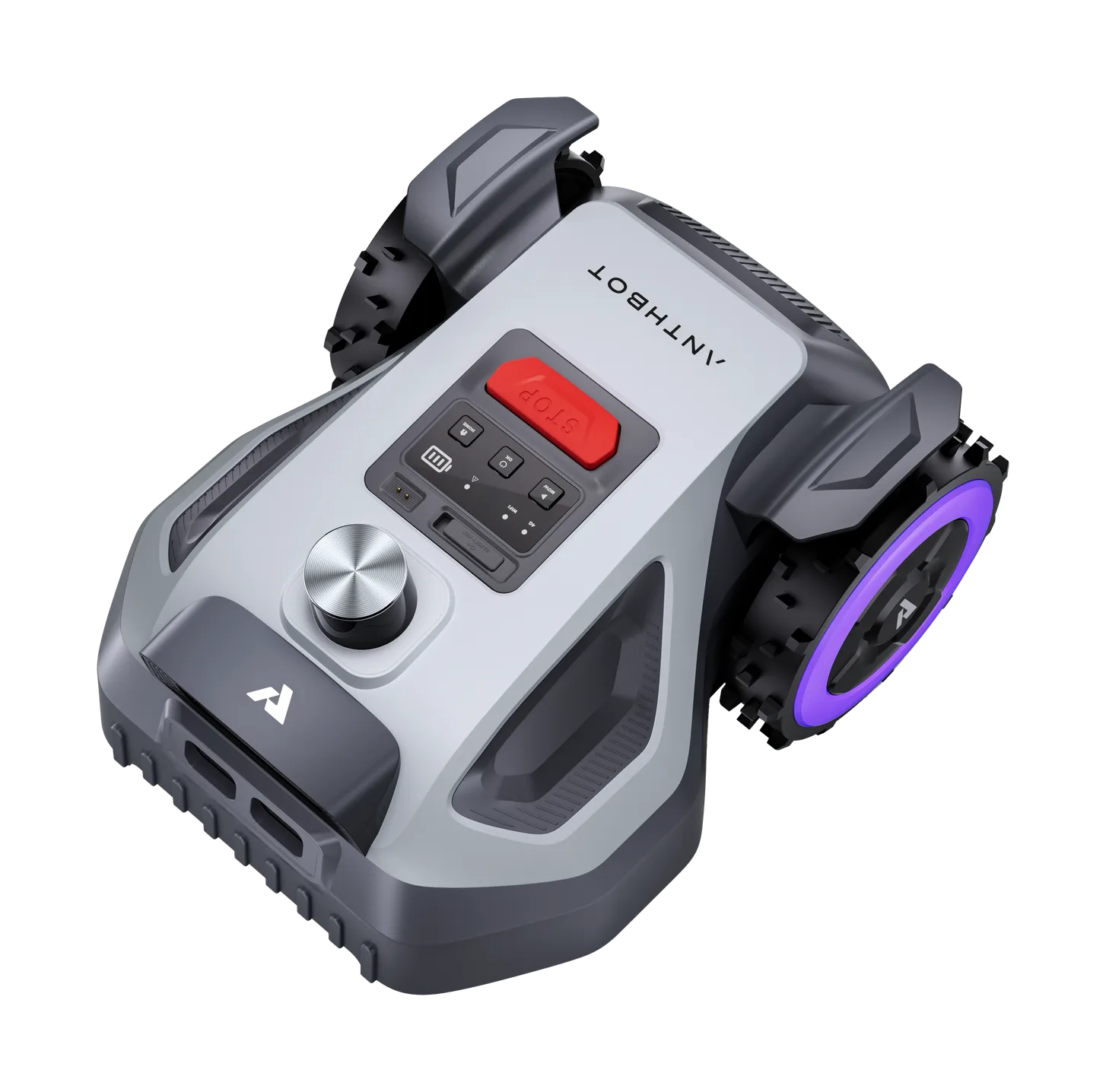
Anthbot M5 LiDAR
The M5 LiDAR eliminates RTK satellite dependency with a 360° 3D scanner for heavily shaded small lawns.
Area0.12 acres (5,382 sq ft)
Slope45 %
Indicative price899 €
SourceStrong source
SpecsLib adapts language, currency and estimated prices to your context.
Language
Country and currency
Anthbot M5 LiDAR vs Anthbot M5 PRO: compare price, lawn area, slope, battery, navigation and the practical verdict for your garden.
Anthbot M5 LiDAR and Anthbot M5 PRO are very close: focus on the rows that match your lawn constraints.
The M5 LiDAR eliminates RTK satellite dependency with a 360° 3D scanner for heavily shaded small lawns.
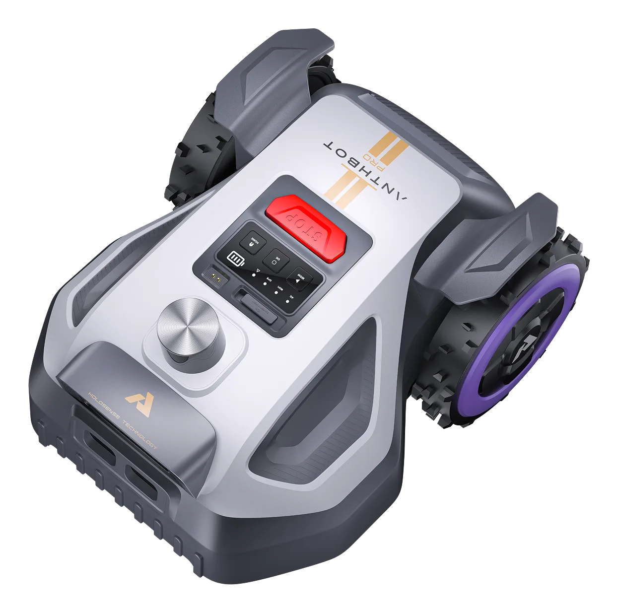
The M5 PRO fuses 3D LiDAR precision with 4G NetRTK positioning without local base station.
Anthbot M5 LiDAR and Anthbot M5 PRO are very close: focus on the rows that match your lawn constraints.
On price, the Anthbot M5 LiDAR is €100 cheaper than the Anthbot M5 PRO.
Each row highlights the stronger profile when the data is decisive.
No usable difference across currently documented rows.
| Criterion | Anthbot M5 LiDAR | Anthbot M5 PRO |
|---|---|---|
| Indicative pricelower is better | 899 €Advantage | 999 € |
| Launch yearhigher is better | 2026Tie | 2026Tie |
| Recommended areahigher is better | 0.12 acres (5,382 sq ft)Tie | 0.12 acres (5,382 sq ft)Tie |
| Max slopehigher is better | 45 %Tie | 45 %Tie |
| Cut widthhigher is better | 7.1 inchesTie | 7.1 inchesTie |
| Cutting systemdocumented support | Disque a lames pivotantes | Disque a lames pivotantes |
| Batteryhigher is better | 2.5 AhTie | 2.5 AhTie |
| Charge timelower is better | 60 minTie | 60 minTie |
| Runtimehigher is better | 60 minTie | 60 minTie |
| Weightlower is better | 21.6 lbsAdvantage | 22.0 lbs |
| Navigationhigher is better | LiDARLiDARLaser distance sensing used for mapping and detection. + Vision | LiDARLiDARLaser distance sensing used for mapping and detection. + GPS + RTKRTKHigh-precision satellite correction, usually with a base station or antenna. + VisionAdvantage |
| Wire-free setuphigher is better | YesTie | YesTie |
| Obstacle avoidancehigher is better | 360° LiDARLiDARLaser distance sensing used for mapping and detection. + Dual Vision IAAI VisionAI camera system for object avoidance and navigation support.Tie | LiDARLiDARLaser distance sensing used for mapping and detection. + RTKRTKHigh-precision satellite correction, usually with a base station or antenna. & NetRTKNetRTKNetwork-assisted RTK designed to reduce reliance on a local antenna. + Dual VisionTie |
| 4Ghigher is better | YesTie | YesTie |
| Mowing modeshigher is better | Multi-zone + No-go zone + ProgrammationTie | Multi-zone + No-go zone + ProgrammationTie |
| Included 4Ghigher is better | 1 yearTie | 1 yearTie |
| Integrated lightinghigher is better | YesTie | YesTie |
| Anti-thefthigher is better | GPS tracking + App alertsTie | GPS tracking + App alertsTie |
| Noiselower is better | 58 dBNoise level (dB)Noise produced while running, in decibels, on a scale that is not linear.Tie | 58 dBNoise level (dB)Noise produced while running, in decibels, on a scale that is not linear.Tie |
| Water protectionhigher is better | IPX6IPX ratingWater-resistance rating, not a blanket immersion guarantee.Tie | IPX6IPX ratingWater-resistance rating, not a blanket immersion guarantee.Tie |
| Zonesdocumented support | 10 | 15Advantage |
SpecsLib may earn a commission from some links. Sponsored content and product loans are labeled.
The ultimate solution for shaded lawns with no RTK antenna setup.
Top-tier compact tech for complex lawns requiring ultimate fusion navigation.
This comparison turns spec sheets into a practical decision: real lawn size, slope, budget, navigation and installation constraints. Rows without usable data are removed to keep the read clean.