Segway Navimow i2 LiDAR vs Anthbot Genie 800: compare price, lawn area, slope, battery, navigation and the practical verdict for your garden.
Quick verdictAnthbot Genie 800
Anthbot Genie 800 leads with 9 winning criteria. The best choice is still the one that fits your area, slope and budget.
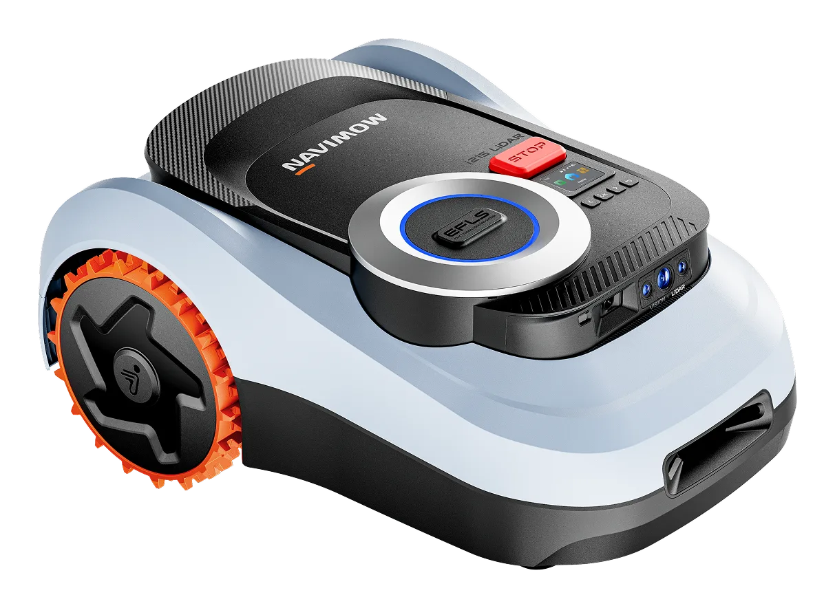
Segway Navimow i2 LiDAR
The Navimow i2 LiDAR (i215) leans on solid-state LiDAR and vision to map without Network RTK, over around 1,500 m2. Announced model, pricing not disclosed.
Area0.37 acres (16,146 sq ft)
Slope30 %
Indicative priceTo confirm
SourcePartial specs
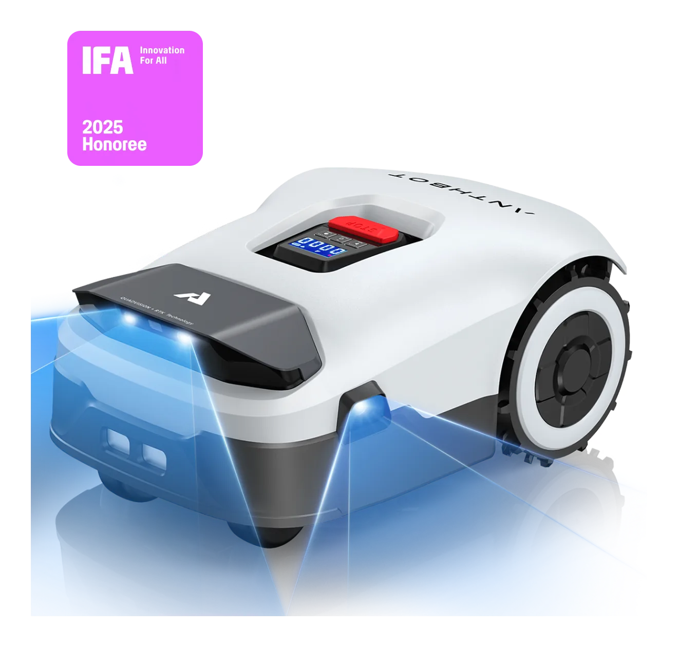
Anthbot Genie 800
The Genie 800 is the European mid-spec model from Anthbot, covering up to 1,500 m2 with a 4 Ah battery pack.
Area0.37 acres (16,146 sq ft)
Slope45 %
Indicative price999 €
SourceStrong source
VS
Quick verdict
What really changes
Anthbot Genie 800 leads with 9 winning criteria. The best choice is still the one that fits your area, slope and budget.
SpecsLib Decisional Analysis
On slopes, the Anthbot Genie 800 (45%) outperforms the Segway Navimow i2 LiDAR (30%): if your lawn exceeds 30%, the choice is clear.
Choose Segway Navimow i2 LiDAR if
Runtime: 120 min
Weight: 24.3 lbs
Obstacle avoidance: LiDAR solid-state + AI vision (cartographie laser)
Mowing modes: Multi-zone + No-go zone + Programmation + Recharge auto et reprise
Noise: 58 dB
Choose Anthbot Genie 800 if
Indicative price: 999 €
Max slope: 45 %
Cut width: 7.9 inches
Battery: 4 Ah
Charge time: 100 min
Differences to check first
Indicative price
Max slope
Cut width
Battery
Charge time
Decision table
Each row highlights the stronger profile when the data is decisive.
No usable difference across currently documented rows.
This comparison turns spec sheets into a practical decision: real lawn size, slope, budget, navigation and installation constraints. Rows without usable data are removed to keep the read clean.
SpecsLib measures its audience with Google Analytics only if you accept. No advertising cookies.Learn more