Best for
- Tree-covered lawns with poor satellite reception
- Steep slopes
- Around 0.49 acre
SpecsLib adapts language, currency and estimated prices to your context.
Language
Country and currency
The US version of Roborock's rugged platform: 3D LiDAR with no RTK and no satellites, AWD, 80% slope, about 0.49 acre.
Specs verified on
Sold in the United States
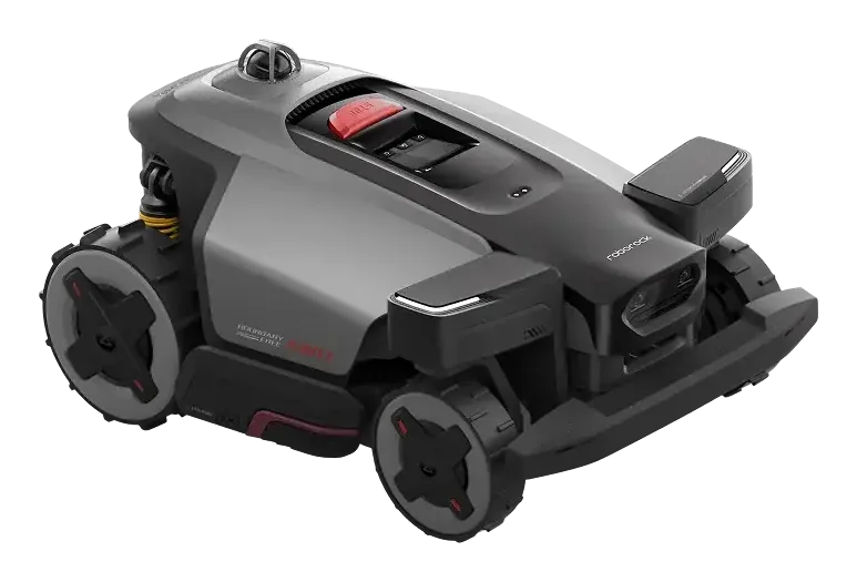
The logical US pick if your lawn is tree-covered or steep and you want neither an RTK antenna nor a boundary wire.
These indicators are computed by SpecsLib from official manufacturer specs. They do not appear as such in any brand's documentation.
Square feet covered per euro spent. The higher the ratio, the better the area-to-price value.
Normalised score based on the declared maximum slope (80%). 100 = mechanical limit, 0 = flat ground.
Underlined terms open a plain-language explanation of navigation, detection and ecosystem technologies.
What the brand promises, what independent tests actually found, and the limit to plan around.
An edge module brings the cut to around 3 cm from the boundary.
Senses measured roughly 3 cm with the module against roughly 10 cm without it: the function does what it says. Two reservations. The module was sold separately, 1,799 SEK at the time of the test, and once fitted it drops obstacle clearance from 8 cm to 5 cm and reduces agility.
Depending on the version the module ships with the mower or is bought separately: the 3 cm figure assumes it is there. The same test found software still under construction, mowing patterns pushed back, and passages between zones needing close to a metre.
The RockMow X120H LiDAR AWD is the US version of Roborock's rugged mower platform, launched 20 July 2026 as an Amazon exclusive. Its defining trait: it drops RTK and satellites entirely, mapping with a 360° 3D LiDAR paired with AI vision, which removes the reference antenna and the coverage problems under tree cover. All-wheel drive, 80% slope (38.7°), 3.15 in obstacle crossing, 24 cm cutting width over 40-90 mm, six blades on a floating deck, IPX6, three years of 4G included. Roborock has not published battery, runtime or weight figures yet.
What public reviews and owner feedback most often praise.
Consolidated watchouts identified by SpecsLib to help evaluate fit for your lawn and budget.
Internal editorial synthesis, rewritten and consolidated without outbound links to analysed publications.
It is designed to mow up to 0.49 acres (21,528 sq ft).
This model can handle slopes up to 80%.
No, this model operates without a wire (virtual navigation).
According to the SpecsLib calculation, the Roborock RockMow X120H LiDAR AWD delivers 7 sq ft/€. Square feet covered per euro spent. The higher the ratio, the better the area-to-price value.
SpecsLib assigns a slope score of 80/100 (Exceptional) to the Roborock RockMow X120H LiDAR AWD. Normalised score based on the declared maximum slope (80%). 100 = mechanical limit, 0 = flat ground.
If this model is not the right compromise, these mowers are close by area, brand or budget.
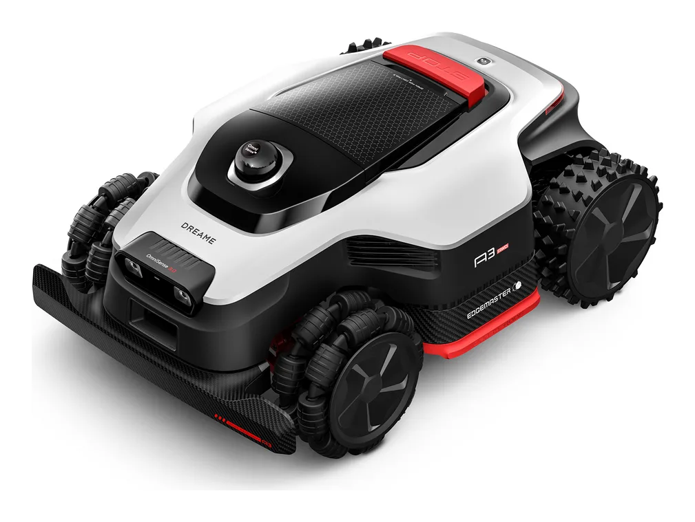
Dreame A3 AWD 2000 brings OmniSense 3.0 below the Pro series, with all-wheel drive, 360° 3D LiDAR, binocular AI vision, 150 zones and a 2,000 m2 target area.
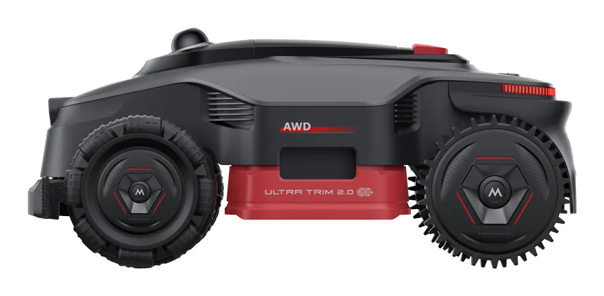
LiDAX Ultra AWD 2000 is the largest MOVA AWD model listed in France, with a wide 40 cm deck, 4 hub motors, a 32.4 V battery and 150 zones.
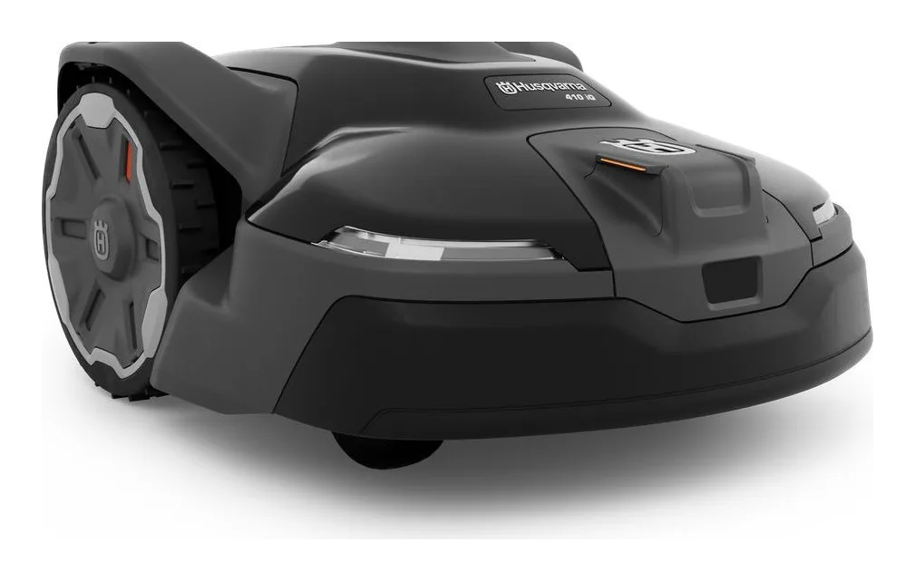
The entry iQ covers lawns up to half an acre with EPOS satellite navigation and radar detection, and carries no camera.
Every side-by-side we publish for this mower, specs and verdict.
Cross-checked testing and news that cover this exact mower.
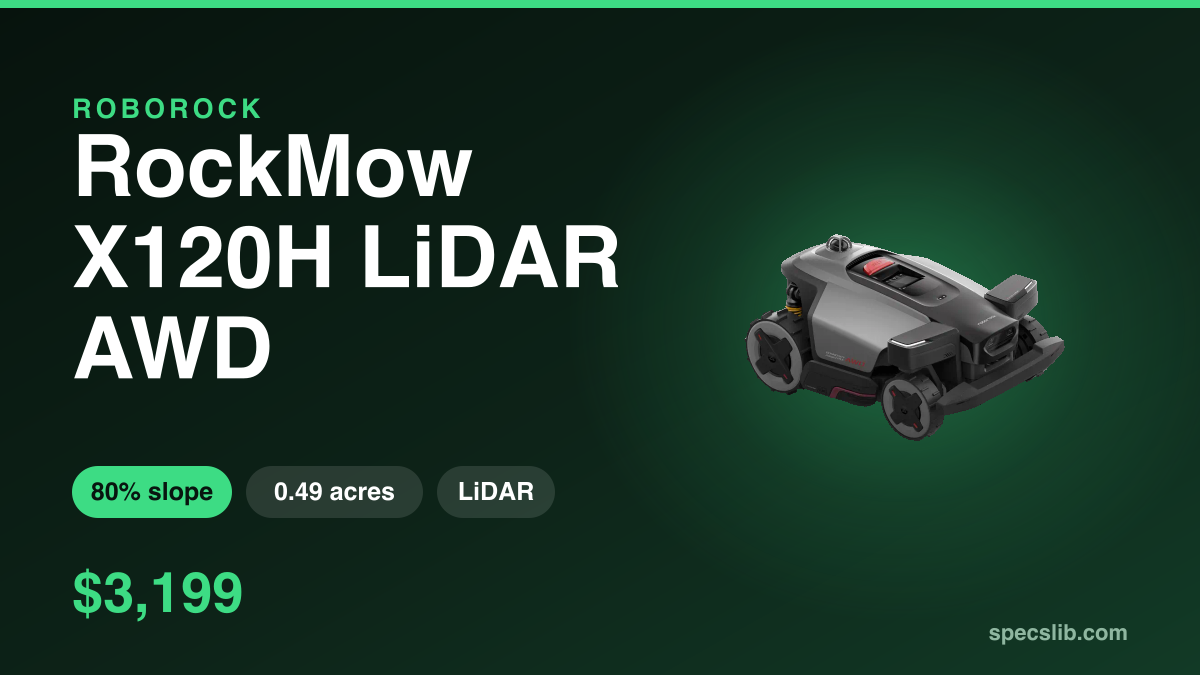
Roborock's new US flagship maps with a 360° 3D LiDAR and no satellite correction at all. Here is what removing RTK actually changes, and who should care at $2,499.
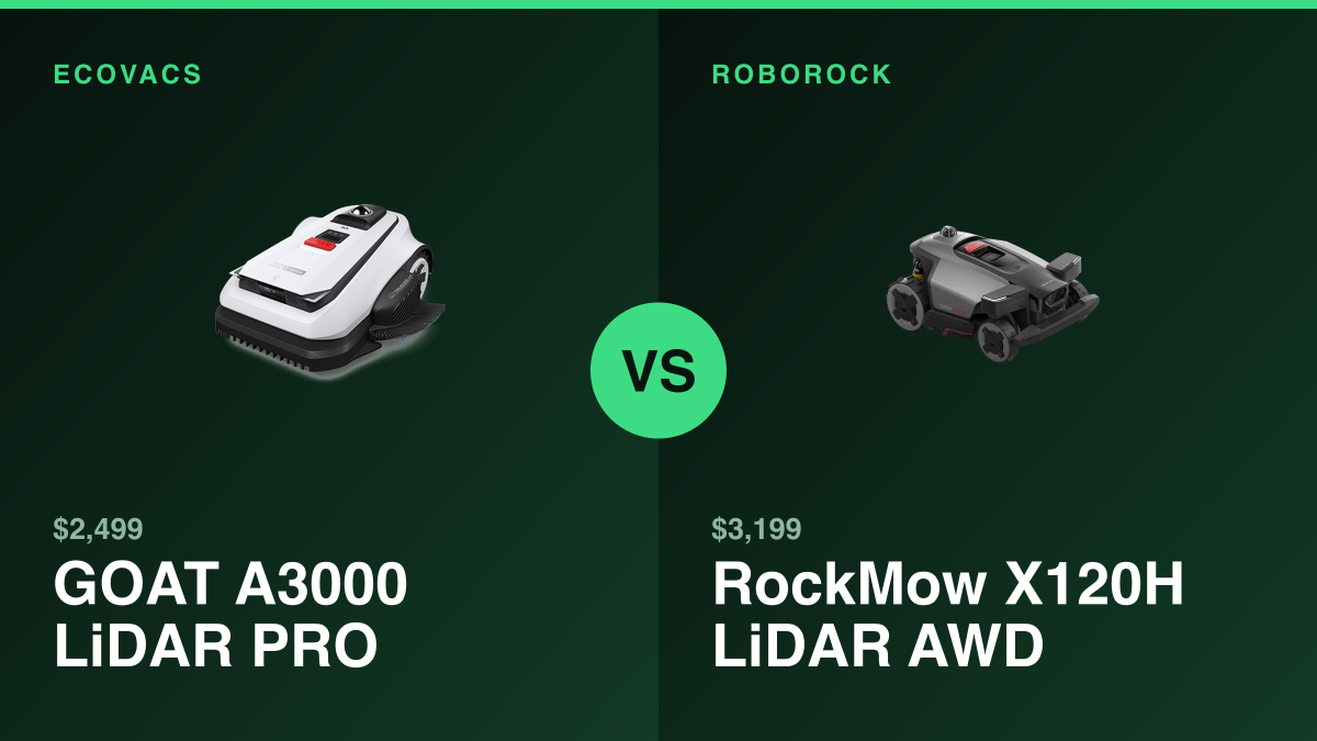
Roborock and ECOVACS both dropped satellite positioning on their 2026 US flagships. One costs $700 more and publishes half the specs. Here is what the manufacturer figures actually say.
Latest verification of official and technical sources.